
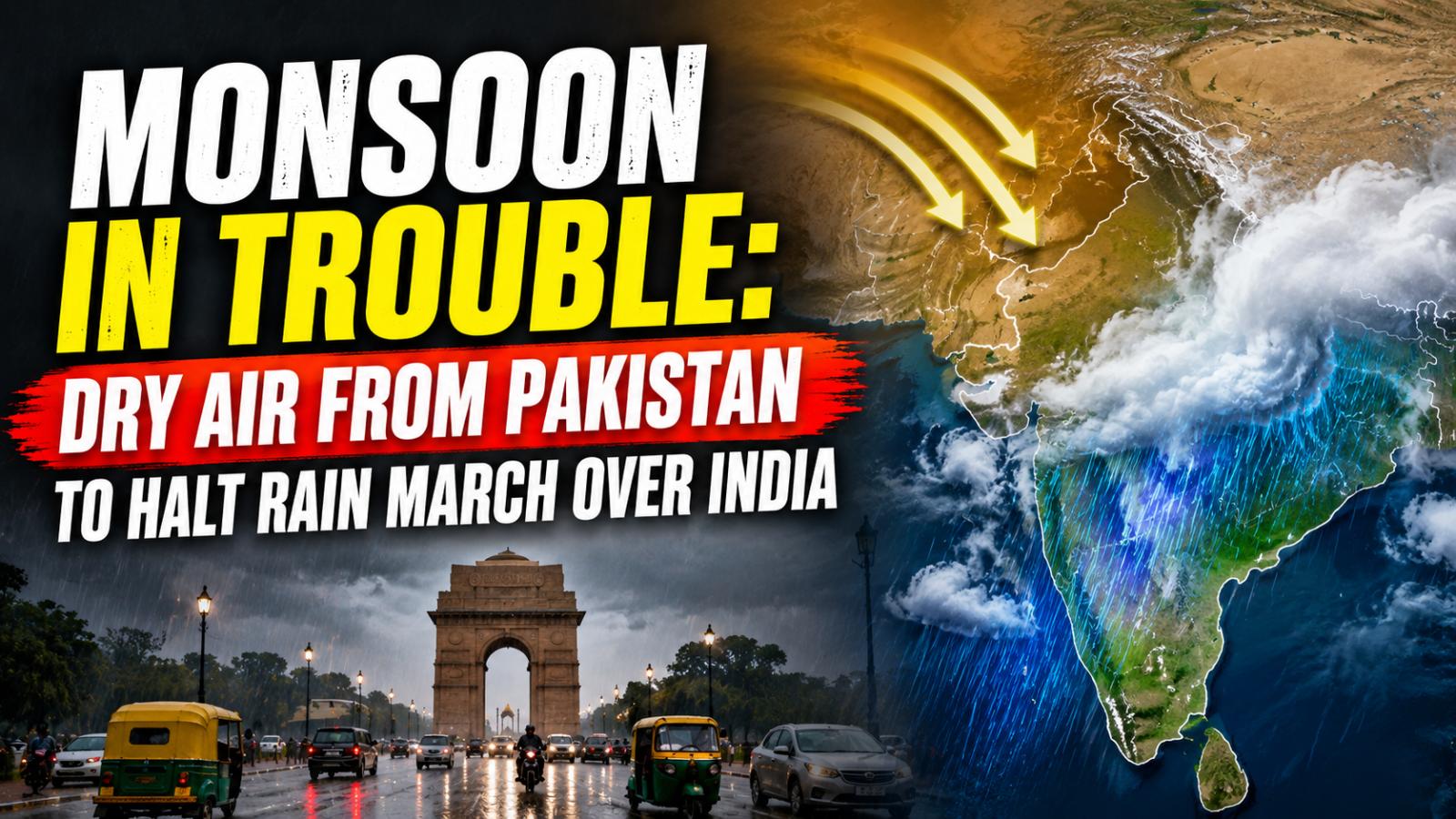
India’s southwest monsoon is facing another difficult phase as dry northwesterly winds flowing across Pakistan and northwest India begin suppressing rainfall over large parts of the country. The changing atmospheric pattern could deepen the seasonal rain deficit and limit the chances of a broad monsoon recovery.
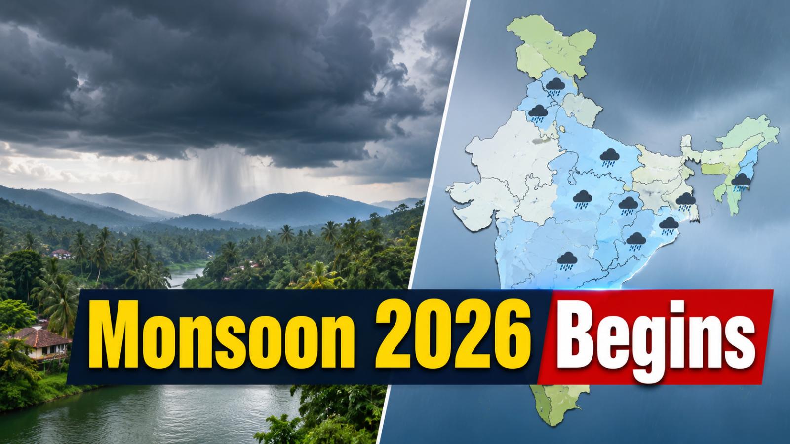
India’s cumulative rainfall since the monsoon began remains around 13% below normal, reflecting the highly uneven distribution of rain this season. While eastern and some central regions continue to receive significant showers, northwest and western India are entering a considerably drier spell.
Dry Air From Pakistan Weakens Rain Across Northwest IndiaDry northwesterly winds are increasingly replacing moisture-rich monsoon winds over Punjab, Haryana, Delhi-NCR, Rajasthan and adjoining areas. This shift is reducing atmospheric moisture, suppressing cloud formation and lowering the chances of widespread rainfall.
Gujarat, western Madhya Pradesh and parts of interior Maharashtra could also experience subdued rainfall as the dry air strengthens its grip. A shift in the monsoon trough closer to the Himalayan foothills has further contributed to weaker rainfall over the northwestern plains.
The change could temporarily bring lower humidity to some regions, but it also raises concerns for areas already struggling with seasonal rainfall shortages.
Monsoon Rainfall Deficit Could Worsen With Uneven ShowersThe larger concern is the growing imbalance in rainfall distribution. India’s seasonal rainfall is currently about 13% below normal, and an extended dry spell across major parts of the north and west could make it harder to reduce that gap before the season ends.
Rainfall is expected to remain more active across parts of Uttar Pradesh, Bihar, Jharkhand, Chhattisgarh, Odisha, West Bengal, Uttarakhand and the Northeast, where locally heavy showers remain possible.
The uneven pattern means intense rain in a few states may not be enough to compensate for prolonged dry conditions elsewhere. Agricultural regions dependent on seasonal rainfall could face growing concerns over soil moisture and crop water availability if dry weather persists.
Bay Of Bengal Systems Hold Key To Fresh Monsoon RevivalLow-pressure systems forming over the Bay of Bengal are among the main drivers that carry monsoon moisture deep into India. The developing dry northwesterly flow could make it harder for some systems to travel far into northwest and western India.
However, the monsoon is not over yet. IMD’s extended-range outlook indicates that a fresh upper-air cyclonic circulation could develop over the north Bay of Bengal around August 19, potentially producing a low-pressure area over the northwest Bay around August 20.
Such a system could support another spell of rainfall over eastern and central India, though its eventual track and strength will determine whether rain reaches areas currently experiencing drier conditions.
September Outlook Raises Break Monsoon And Withdrawal QuestionsThe emerging dry pattern has triggered discussion over whether India is entering a “break monsoon” phase or beginning to show early signs of seasonal withdrawal.
A break monsoon occurs when rainfall weakens sharply over much of the country while activity becomes concentrated near the Himalayan foothills and selected regions. Recent movement of the monsoon trough toward the foothills is consistent with weaker rainfall over northwest plains, although forecasters have cautioned against declaring an early withdrawal yet.
More clarity is expected as the second half of August progresses. For now, India’s monsoon performance will depend heavily on whether new Bay of Bengal systems can overcome the expanding dry-air influence and restore moisture across rain-deficient regions.