

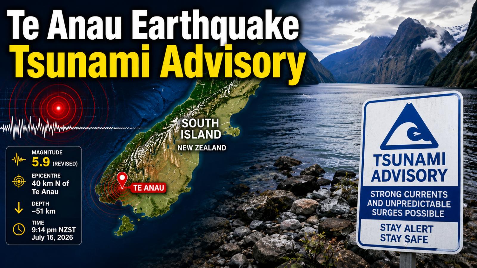
Te Anau Earthquake: Tsunami Warning Downgraded to Advisory
A strong Te Anau earthquake shook New Zealand’s South Island on Thursday night, prompting authorities to issue a tsunami warning for parts of the Fiordland coast. The warning was later downgraded to an advisory, although officials continued to caution people about potentially dangerous ocean currents and unpredictable coastal surges.
The earthquake struck at approximately 9.14 pm local time on July 16, 2026. GeoNet located its centre about 40 kilometres north of Te Anau and recorded a depth of approximately 51 kilometres. The event page classified the shaking as strong and continued to list the magnitude as 6.3.
Thousands Report Feeling the Te Anau Earthquake
The tremor was felt across a wide section of the lower South Island, including parts of Southland, Otago, and Canterbury.
GeoNet received more than 18,500 felt reports following the earthquake, showing how widely the shaking was experienced. Residents in several communities described prolonged movement, while a series of smaller aftershocks was recorded around the region.
The quake occurred close to Te Anau, a town commonly used as a gateway to Fiordland and popular destinations such as Milford Sound.
Tsunami Warning Issued for Fiordland Coast
Soon after the earthquake, New Zealand’s National Emergency Management Agency issued a tsunami warning covering the South Island’s west coast between Milford Sound and Puysegur Point.
People inside the affected coastal zone were initially instructed to move to higher ground, leave tsunami evacuation areas or travel as far inland as safely possible.
Authorities later downgraded the warning to a tsunami advisory after the earthquake’s magnitude was revised to 5.9 for the tsunami assessment. Coastal flooding was no longer expected, and residents were told they did not need to evacuate unless instructed by their local Civil Defence authorities.
Why Different Earthquake Magnitudes Were Reported
Different monitoring organisations can publish different preliminary magnitudes immediately after a major earthquake because they use separate seismic networks, measurements, and calculation methods.
New Zealand reports said the magnitude had been revised from 6.3 to 5.9 when the tsunami warning was downgraded. However, GeoNet’s earthquake event page continued to display a magnitude of 6.3, with the quake located 40 kilometres north of Te Anau at a depth of 51 kilometres.
Therefore, reports may refer to the event as either a magnitude-5.9 or magnitude-6.3 earthquake, depending on the monitoring agency and the time at which the information was published.
Strong Coastal Currents May Continue
Although the evacuation warning was lifted, officials said strong and unusual currents or unpredictable surges could still occur along the coast between Milford Sound and Puysegur Point.
People were advised to remain cautious around beaches, harbours, estuaries, rivers, and other coastal locations until the advisory was officially cancelled.
Local authorities also warned motorists to watch for rocks or debris on roads near hillsides. The Edith Cavell Bridge was expected to undergo a precautionary inspection following the shaking.
Authorities Continue Monitoring Aftershocks
Several smaller earthquakes followed the main Te Anau earthquake. Authorities continued monitoring seismic activity and coastal conditions while advising residents to follow official Civil Defence and GeoNet updates.
New Zealand’s emergency guidance urges people who experience a long or strong earthquake near the coast to move to higher ground immediately rather than waiting for an official warning. The National Emergency Management Agency describes this safety message as “Long or Strong, Get Gone.”
Further revisions to the earthquake’s magnitude, aftershock information, and tsunami advisory remain possible as monitoring agencies analyse additional seismic and ocean data.